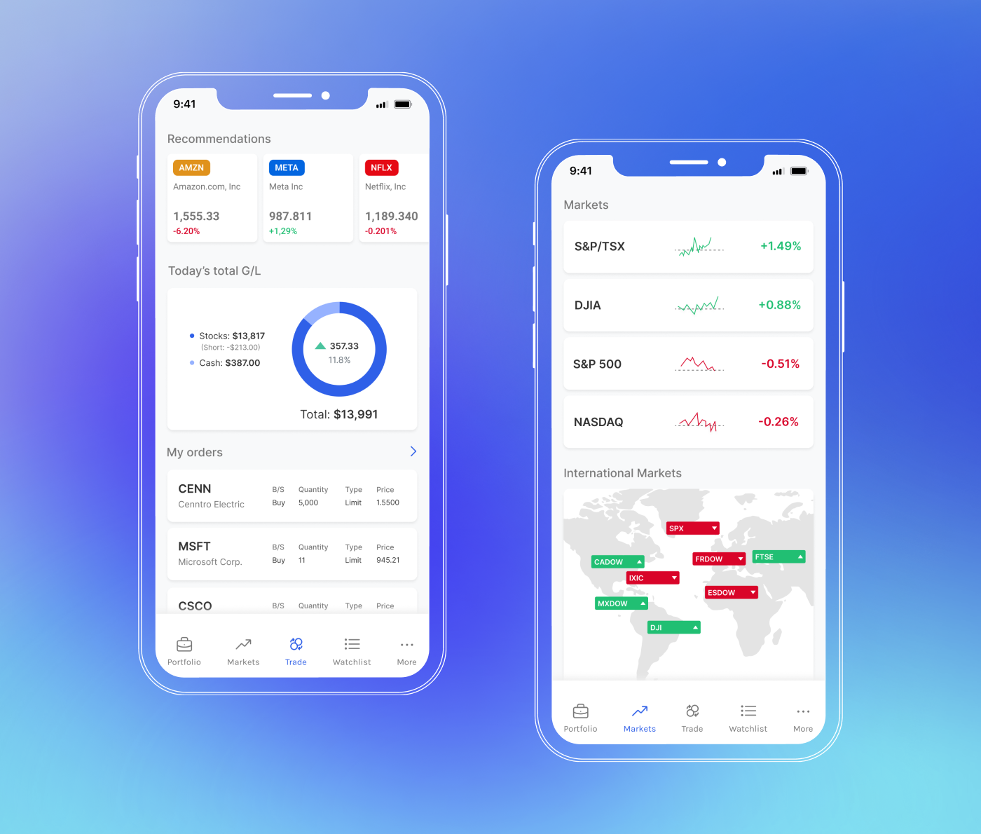
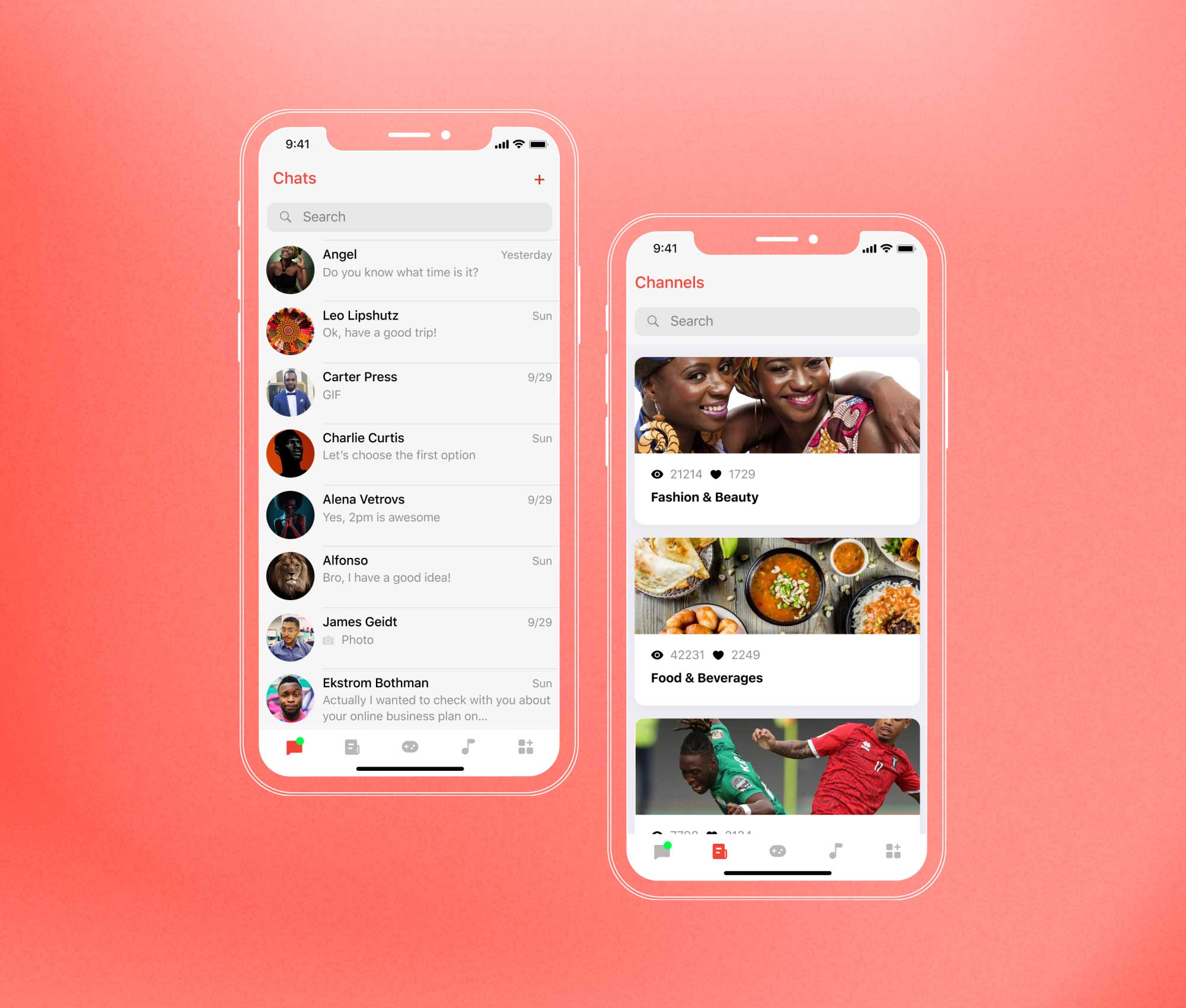
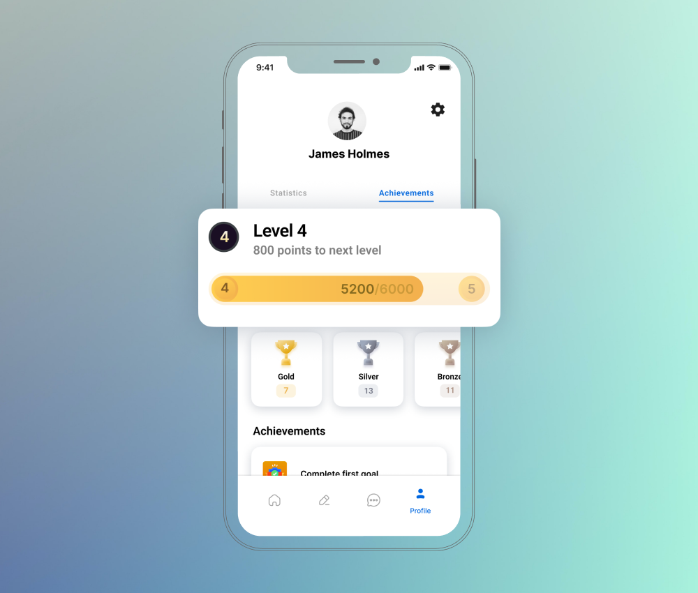
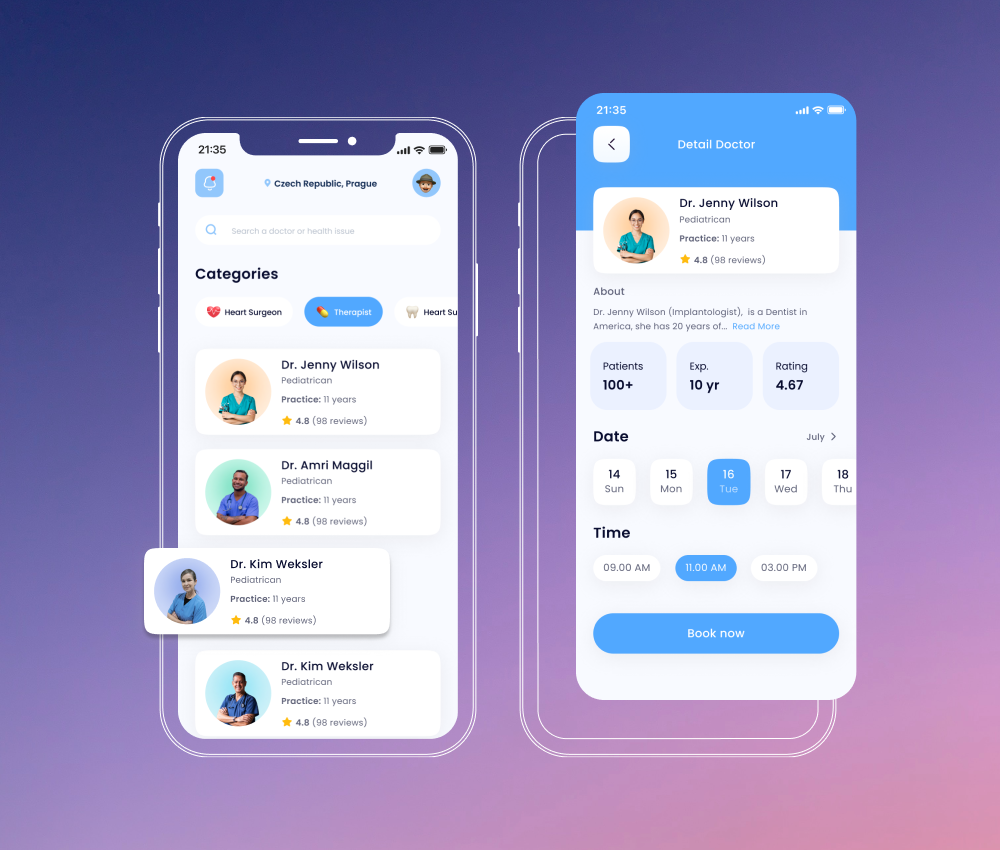
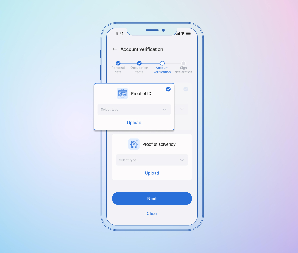
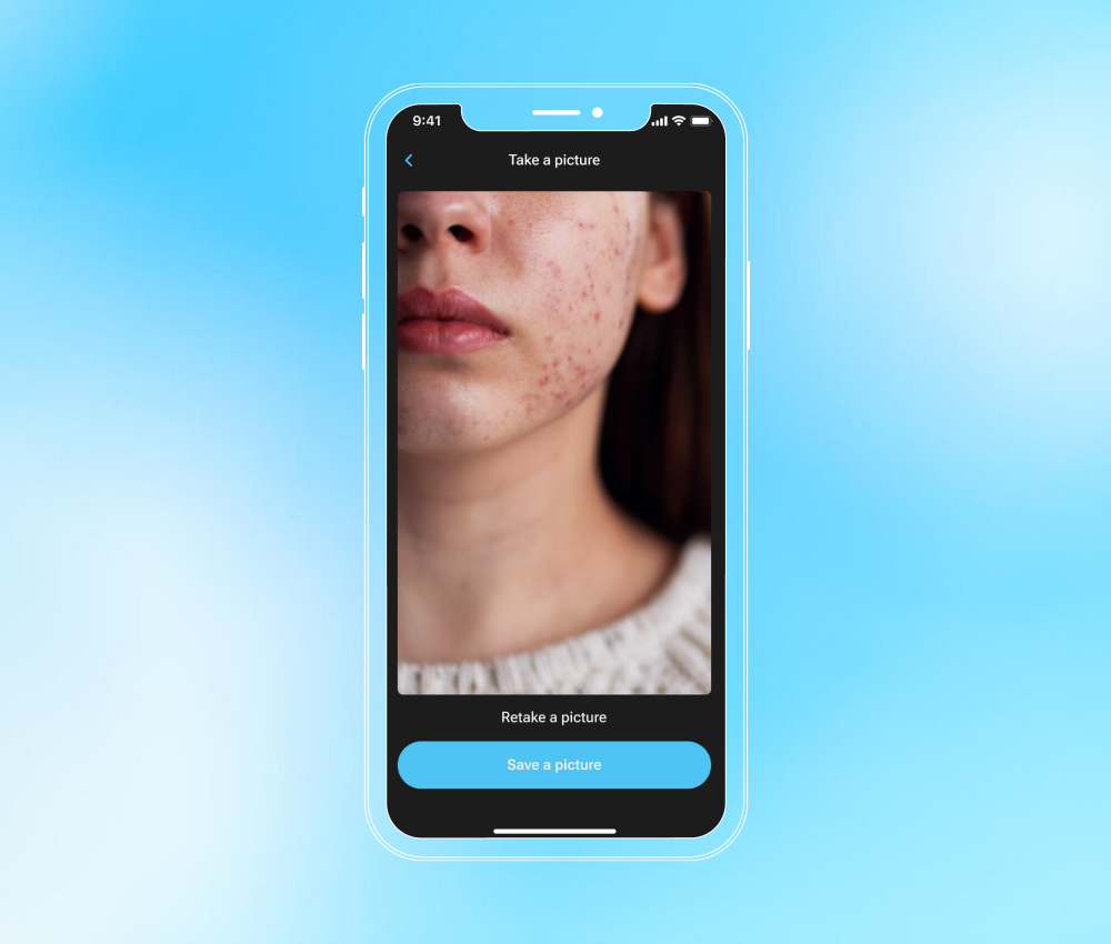
Please leave your contacts, we will send you our whitepaper by email
I consent to process my personal data in order to send personalized marketing materials in accordance with the Privacy Policy. By confirming the submission, you agree to receive marketing materials
Thank you!

The form has been successfully submitted.
Please find further information in your mailbox.

Innowise is an international full-cycle software development company founded in 2007. We are a team of 1600+ IT professionals developing software for other professionals worldwide.
About us
Innowise is an international full-cycle software development company founded in 2007. We are a team of 1600+ IT professionals developing software for other professionals worldwide.

GIS application development: reducing resource usage by 65%

Innowise has developed a geographic information system for effectively managing map-based information and land assets.

Customer

Industry
Enterprise
Region
USA
Client since
2021

Our client is an industry leader in location data sharing with the goal of bringing real-world location intelligence solutions to the market.

Detailed information about the client cannot be disclosed under the provisions of the NDA.

Challenge

Building GIS analytics software to optimize estate management

Our client was looking for a system that could help its land referencing clients optimize their estate management.

The client reached out to Innowise for an innovative solution that would help to:

  • effectively manage map-based information and land assets;
  • tackle the problem of inefficient processes;
  • cover new opportunities to drive strategic value from location data.

Solution

Building a mapping and analytics software to manage land assets

Innowise developed a ground mapping web platform for enterprises to effectively manage map-based information and land assets.

Platform overview

The platform allows a user to create different map layers, arrange land and property assets, and set the necessary attributes (e.g. statistics, soil indicators, forest density, etc.). Moreover, one can add location-based data documents, drawings, reports, images, etc., thus, presenting a comprehensive view of land and property information.

A killer feature of the product is that it includes ready-made access to the most up-to-date mapping and a wide range of geographic data sets.

All popular GIS formats

Today GIS is one of the most diverse and expanding technologies as shown by a large number of file formats. Our cross-platform application supports all popular GIS formats (shp, tif, dbf, geojson, gpkg, gml), which allows working on absolutely any GIS-platform and keeping your maps, land and property assets up to date.

GIS services

Our ground mapping application includes the most common types of web mapping services, such as WMS, WFS, and WCS. They enable the exchange of spatial information and viewing over the internet as a map or image in your web browser. Implementing them has many benefits, including the ability to provide a geospatial view of your GIS data, create interactive maps with various features (search capabilities, filtering, sorting options, etc.), or even request multidimensional raster data.

Powerful tools for seamless workflow

As part of this solution, we used the following technologies to streamline and drive efficiency:

  • OpenLayers is a multifunctional library for designing dynamic maps on any web page. It shows map tiles, vector data, and markers downloaded from any source, and generally helps to further exploit geographic information of all types;
  • GeoJSON is implemented to display simple geographic features and their non-spatial attributes in an open standard geospatial data interchange format;
  • PostGIS is a spatial database extension for PostgreSQL. It provides advanced spatial capabilities, such as spatial indexing, geospatial queries and data validation, thus, allowing efficient and accurate manipulation of geospatial data;
  • GeoServer is an open-source server that allows users to share, process, and edit geospatial data using popular open standards such as WMS, WFS, and WCS. The integrated server ensures faster system performance and efficient management of large amounts of GIS data. Also, we leveraged SLD (Styled Layer Descriptor), an XML-based powerful markup language that allows symbolizing and colorizing geographic features and coverages.

Also, we integrated powerful GIS applications – QGIS and ArcGIS – to create, edit, analyze, and visualize geospatial data.

Innovative AI integrations

We’ve implemented an AI solution that helps speed up the creation of custom maps and reports. An ML-model trained on data previously uploaded by other users makes smart suggestions on how to improve the project and recommends adding relevant information.

Technologies & tools

Back-end

Python3, Flask, PostgreSQL, PostGIS, GeoServer, AWS, Pydantic, Pandas, GeoPandas, SqlAlchemy, GeoAlchemy

Front-end

Angular, OpenLayers, TypeScript, LESS, NgRx, RxJs, GitLab, NG-ZORRO, leaflet, Chart.j

Team

3
Full-Stack Developers
1
Back-End Developer
1
Front-End Developer
1
DevOps Specialist
team-innowise

Results

The end result was an easy-to-use web platform for enterprises to get real-time geospatial data and mapping. Being a fully maintained and up-to-date source of digital maps, it helps enterprises to effectively manage geographical data and make smart decisions faster. The platform enables users to save money and resources while achieving greater business success.
Project duration
  • 3 months for MVP
  • November 2021 - Ongoing

20%

increase in new clients over last year

65%

reduction in resource usage

Contact us!

Book a call or fill out the form below and we’ll get back to you once we’ve processed your request.

    Please include project details, duration, tech stack, IT professionals needed, and other relevant info
    Record a voice message about your
    project to help us understand it better
    Attach additional documents as needed
    Upload file

    You can attach up to 1 file of 2MB overall. Valid files: pdf, jpg, jpeg, png

    Please be informed that when you click the Send button Innowise will process your personal data in accordance with our Privacy Policy for the purpose of providing you with appropriate information.

    What happens next?

    1

    Having received and processed your request, we will get back to you shortly to detail your project needs and sign an NDA to ensure the confidentiality of information.

    2

    After examining requirements, our analysts and developers devise a project proposal with the scope of works, team size, time, and cost estimates.

    3

    We arrange a meeting with you to discuss the offer and come to an agreement.

    4

    We sign a contract and start working on your project as quickly as possible.

    Thank you!

    Your message has been sent.
    We’ll process your request and contact you back as soon as possible.

    Thank you!

    Your message has been sent.
    We’ll process your request and contact you back as soon as possible.

    arrow